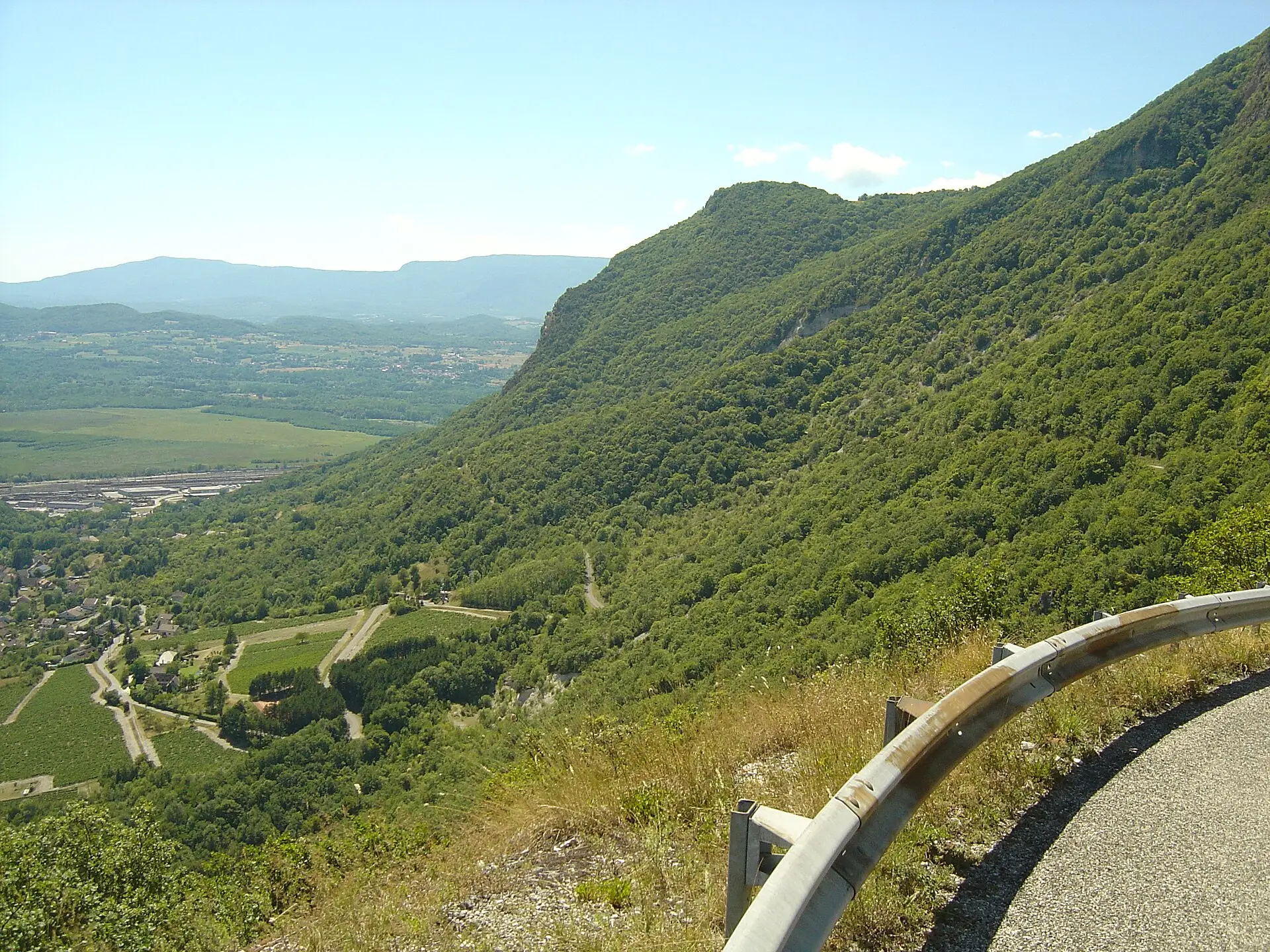

For many cyclists, the Grand Colombier is first and foremost a climb. The Tour de France has used it five times since 2012 and is due to finish there on 11 July 2027. Four roads lead to the pass, each with its own character. All the figures on this page come from the Bugey Sud Grand Colombier tourist office, checked on 9 November 2026.
The four sides
| Side | Distance | Climbing | Maximum published gradient | What the tourist office says |
|---|---|---|---|---|
| Culoz | 18.3 km | 1,262 m | 14% | The most spectacular, with its hairpin bends |
| Artemare via Virieu-le-Petit | 15.9 km | 1,251 m | 22% | Nicknamed “la directissime” (the most direct) |
| Anglefort | 15.7 km | 1,251 m | Not published | The least known, described as formidable |
| Champagne-en-Valromey via Lochieu | 12.3 km | 900 m | Ramps of over 10% | Considered the least difficult |
The tourist office does not publish average gradients, so we do not give any.
From Culoz
This is the longest side and the one used for the big race finishes. The tourist office warns of intense heat on the first seven kilometres, gentler slopes in the forest halfway up, then a second half as hard as the first. Its advice: save some strength for the end. The railway station in Culoz is at the foot of the climb.
From Artemare, via Virieu-le-Petit
The road barely winds at all, hence its nickname “la directissime”. This is where the steepest published section is, at 22%, above Virieu-le-Petit. The climb starts from Artemare.
From Anglefort
This is the least-ridden side. The tourist office gives no maximum gradient but describes it as formidable, with the same amount of climbing as the Virieu-le-Petit side over a similar distance.
From Champagne-en-Valromey, via Lochieu
This is the shortest and least difficult climb. It has several flatter sections, but the last two kilometres are described as relentless, with a final steep ramp that is often exposed to the wind.
Road status
The Culoz road has reopened
On 19 June 2026, a cliff rockfall cut the road between Culoz and the pass. Over the summer, cycling events moved to the Anglefort side: the final time trial of the Ain Bugey Valromey Tour, on 14 July, was moved there and shortened from 17.9 km to 14.9 km, according to info.fr. According to the tourist office, the road from Culoz has been open again since 3 September 2026, after safety work.
Winter closure
The four roads are closed in winter by the roads department of the Département de l’Ain (the county-level authority), in principle from November to the second half of April. Last winter, the roads closed on 19 November 2025 and reopened on 17 April 2026, although a date of 27 March had first been announced, weather permitting.
As of 9 November 2026, no closure date had been published for winter 2026-2027 in the sources we consulted. Before any ride in November or in spring, check the road status on the tourist office’s cycling page or with the Département de l’Ain.
Car-free days for cyclists
On certain Saturdays, the road from Culoz is closed to cars from 7 am to 3 pm and reserved for cyclists. Access is free with no registration; e-bikes and roller skis are welcome. In 2026, these days took place on 20 June, 11 July, 8 August and 12 September, the summer dates falling on the second Saturdays of July, August and September. The tourist office mentions a free refreshment stop at the summit provided by the Département de l’Ain with the Fêlés du Grand Colombier association, and a coffee welcome at the Maison du vélo (cycling centre) in Culoz.
The 2027 dates had not been published as of 9 November 2026. We will add them to our events calendar.
Tour de France and races
The Tour de France climbed the Grand Colombier in 2012, 2016, 2017, 2020 and 2023. On Sunday 11 July 2027, stage 9 is due to finish at the summit after 162 km from the Parc des oiseaux (bird park) in Villars-les-Dombes, according to the tourist office. Vehicle access will be restricted before the race; the arrangements had not been published as of 9 November 2026.
The Ain Bugey Valromey Tour is on the 2027 UCI calendar from 10 to 14 July, according to DirectVelo; its routes are not yet known.
Safety: what to plan for
The tourist office does not publish formal safety advice for cyclists. However, several pieces of information on its pages help you prepare your ride:
- Water: there are no toilets and no drinking-water points on the massif. Take enough to drink for the climb and the descent.
- Heat: the lower part of the Culoz side is described as very hot.
- Wind: the end of the Lochieu side is often windy.
- Traffic: except on car-free days, the road is shared with cars and motorhomes. Motorhomes are directed towards Anglefort and Lochieu, as the Virieu-le-Petit road is strongly discouraged for them.
- Descent: the roads are narrow, especially through the Culoz hairpins. Bring a windproof layer for the descent from the pass.
For a longer stay, our directory lists, among others, the Le Colombier campsite in Culoz. To go walking once you reach the pass, see our page on hiking on the Grand Colombier.